GIS Mapping & Fleet Management
Map Intelligence. Smarter Mobility. Better Control.
GIS Mapping & Fleet Management
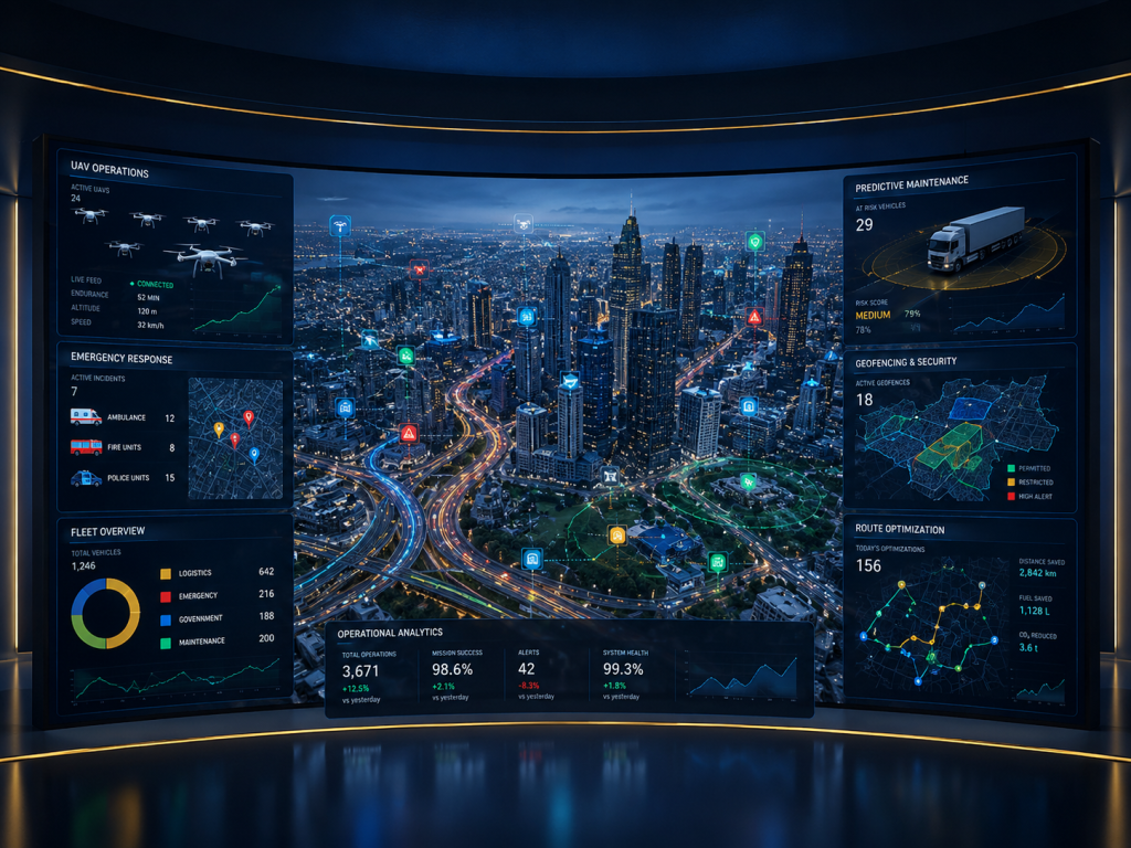
Universal Engine delivers GIS mapping and fleet management solutions that combine geospatial intelligence, real-time tracking, analytics, and operational workflows to help organizations monitor assets, optimize movement, and make faster location-based decisions.
Our solutions provide a unified view of vehicles, field assets, routes, personnel, incidents, and geographic information, enabling organizations to improve fleet visibility, operational efficiency, resource utilization, and response times.
Our GIS & Fleet Management Capabilities
GIS Mapping & Visualization — Create interactive digital maps for assets, infrastructure, locations, incidents, and operational data.
Real-Time Fleet Tracking — Monitor vehicles and mobile assets using live location, status, and movement information.\
Route Planning & Optimization — Plan efficient routes and improve travel time, resource utilization, and fleet productivity.
Geofencing & Alerts — Define geographic zones and receive alerts for entry, exit, unauthorized movement, or operational events.
Fleet Analytics & Reporting — Analyze vehicle utilization, routes, mileage, performance, and operational trends.
Asset & Resource Mapping — Digitally map critical assets, field resources, infrastructure, and service locations.
Field Operations Management — Improve coordination between command centers and mobile teams through location-aware intelligence.
Historical Tracking & Analytics — Review movement history and operational patterns for planning, investigation, and optimization.
Built for Connected Operations
Our GIS and fleet management platforms can integrate with command and control centers, IoT devices, surveillance systems, GPS platforms, databases, and enterprise applications to create a connected operational environment.
Solutions can support police and public safety, government departments, utilities, transportation, logistics, smart cities, infrastructure, and enterprise fleet operations.
Why Universal Engine?
Universal Engine combines GIS, data analytics, AI, IoT, fleet intelligence, and systems integration to transform location data into actionable operational intelligence.
Know where your assets are. Understand what is happening. Move smarter →